Paddling maps


Paddling maps
$15.00
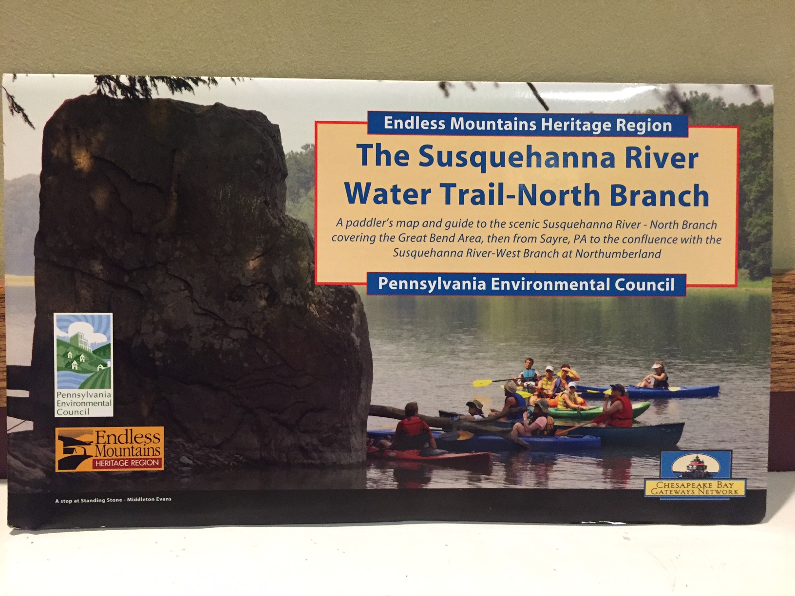
This is an AWESOME package of WATERPROOF map-lets that provide the user a map experience like no other!
Quantity:
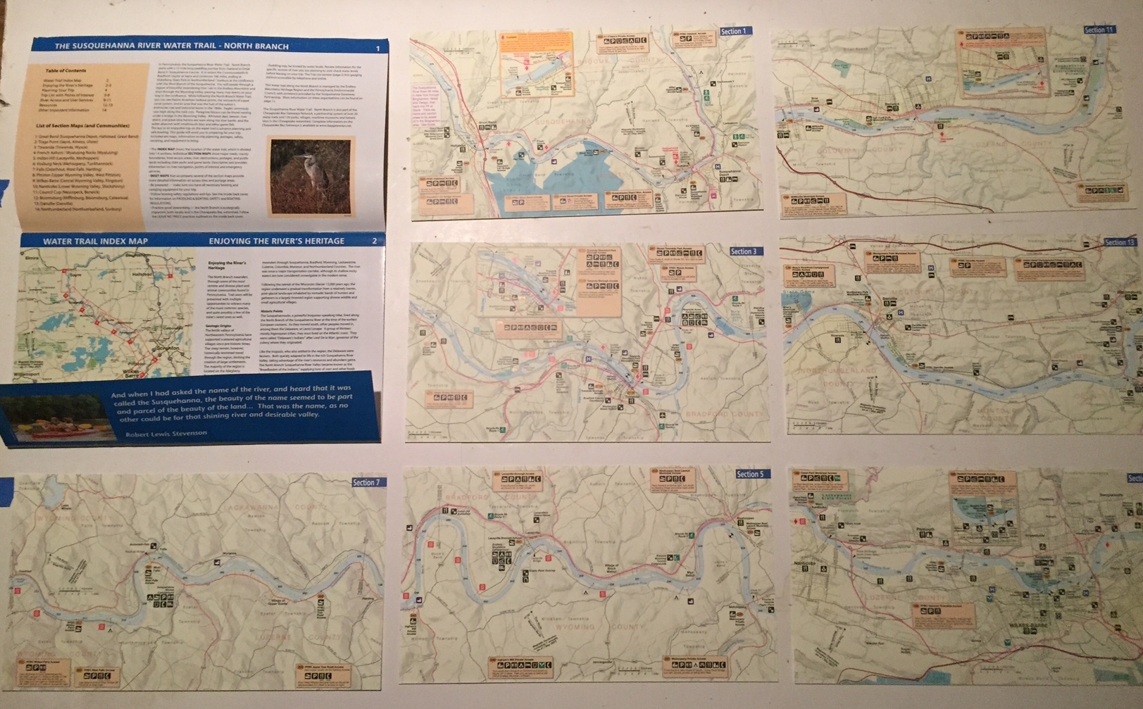
Seven, two-sided smaller maps of each section of the North Branch of the Susquehanna.
Made of synthetic materials and packaged with other important features and attractions; offering fast, easy convenient information to any river paddler while on the go!
The package includes information about access points, heritage, food and drink, dams, airports, Hospital, Parking, restrooms, shelter, birding, danger/hazards and SO MUCH MORE!
Durable, convenient, packable.
Any serious (or at least educated) paddler should have this map as a valuable resourse for each successful adventure!
Created by the Pennsylvania Environmental Council, Endless Mountains Heritage Region, and the Chesapeake Bay Gateway Network.